Update of the Map of Unique Scientific and Technical Infrastructures (ICTS) 2017-2020
The updating of the Spanish ICTS Map aims to consolidate this map as a tool for long-term planning and development of this type of infrastructure, updating it according to established criteria, with emphasis on quality and scientific-technical and economic sustainability, prioritizing the continuity Of the installations in operation and those that have viable financing scenarios, implementing it jointly with the Autonomous Communities.
This tool also makes it possible to optimally plan the application of national, regional and European funding, in particular FEDER funds from the programming period 2014-2020, aiming to achieve a stable medium-term funding framework to guarantee the achievement of its objectives.
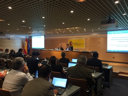
In order to report on the procedure for updating the ICTS Map, a meeting with the directors of the map in force was held on 22 June at the Ministry of Economy, Industry and Competitiveness, where NANBIOSIS was present as well. The Secretary General of Science and Innovation, Juan María Vázquez Rojas, opened the day welcoming the directors and thanking them for their presence and collaboration. Subsequently, the Deputy Director General of Large Scientific and Technical Facilities, José Ignacio Doncel Morales, explained the procedure for updating the ICTS Map.
Once this updating procedure is completed, it will be the Council of Scientific, Technological and Innovation Policy, after a report from the Advisory Committee on Unique Infrastructures (CAIS) approving the configuration and composition of the new ICTS Map.


